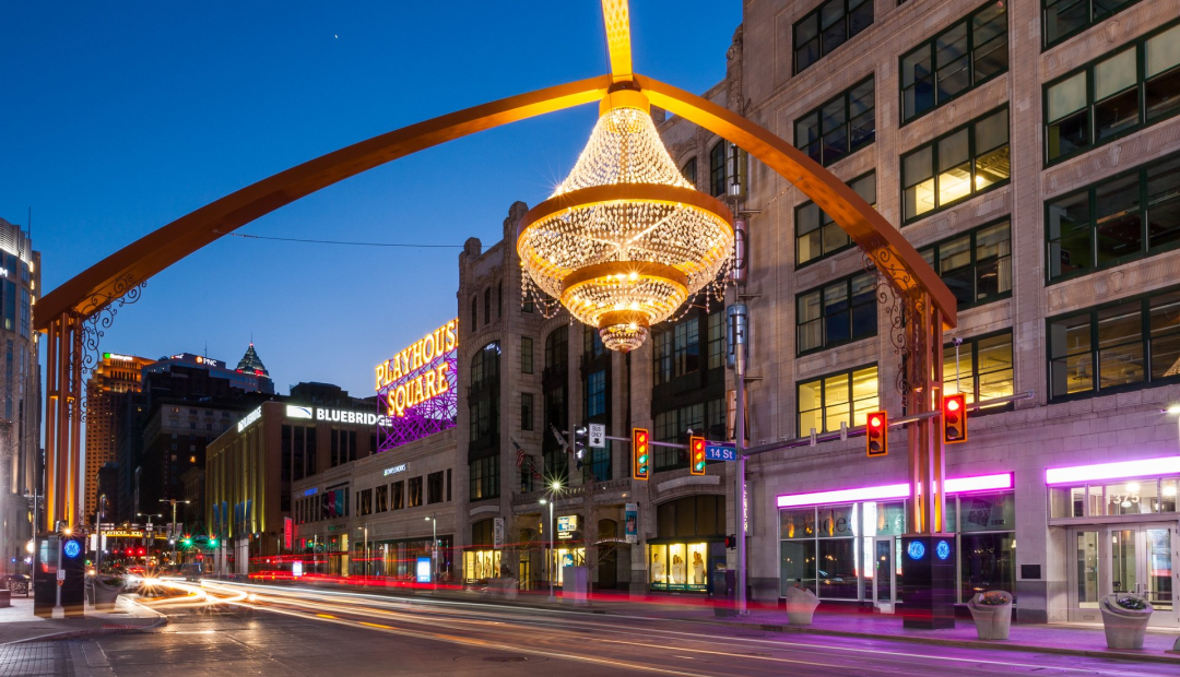
Whether you’re traveling to The Land by plane or navigating our Downtown on foot, we’ve got the resources to get you where you need to go. Literally.
Navigating Downtown
Downtown Cleveland is extremely walkable. So walkable, most of our attractions can be reached within 20 minutes on foot. But if walking isn’t your preferred way to get around, here’s some other options.
Public Transit (RTA)
Cleveland’s Regional Transit Authority, or RTA for short, has plenty of routes, including free trolley buses on the weekdays and a rail between Cleveland Hopkins Airport to Downtown.
We also have taxis and ride share services, and bikes and scooter options are plentiful. Find out more on our Getting Around Cleveland page.
Looking for something a little more tangible? You can download or print one of our Downtown Cleveland maps.
Getting to Cleveland
Whether it’s by air, car or rail, Cleveland is a short distance from many other major cities.
Flights
Cleveland Hopkins International Airport offers many direct nonstop flights to The Land and is a short car trip or train ride to Downtown.
Buses
Greyhound offers trips throughout the United States with a convenient stop in Downtown Cleveland. If you’re traveling within Ohio, GoBus is another great option.
Trains
Downtown Cleveland is home to two major Amtrak routes, which connect to other major regional cities. See their routes and start planning your trip.
More information is available on our Getting to Cleveland page.
